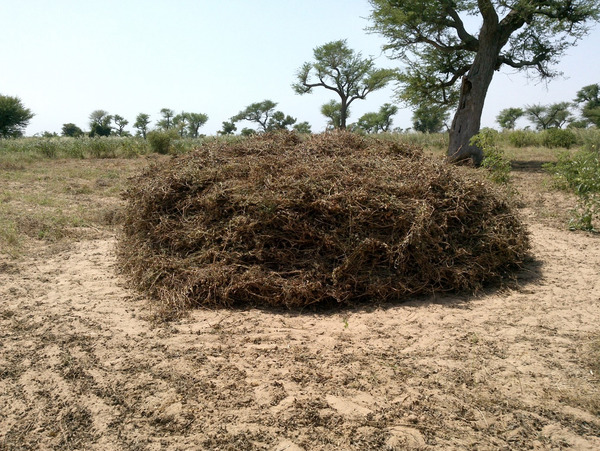
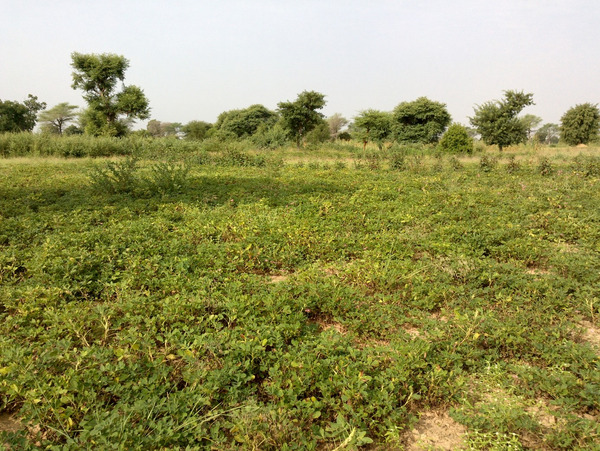
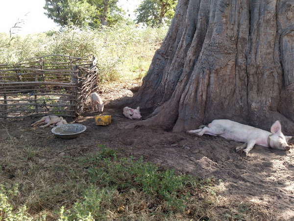
As part of the implementation of the activities of Work Package 7: Geo-statistical and scenario modelling of crop, shrubs, livestock systems, a field mission to the Niakhar area (Fatick region, Senegal) was carried out at the end of October, 2021 to identify the land use of the study area. This mission was a step in the creation of the land use and land cover map necessary for the characterisation of the crop, shrubs, livestock (CSL) systems.
The objective was to identify the different types of land use and land cover in the Niakhar area in order to produce an up-to-date database on the SustainSahel project area. The activities took place over a period of 10 days and 53 sites were visited, i.e. about 5 sites/day. In each site, the types of crops (millet, groundnut, cowpea, watermelon, etc.) were identified and then geolocated using a GPS and the data was stored.
The data collected allowed updating the sites of Ndao et al. 2021 and producing a land-use map of the Niakhar area. This map will serve as an input layer for the Land Use Change Impact Assessment (LUCIA) model but also as a base layer for the development of an algorithm for mapping different biophysical parameters (Leaf Area Index, millet cover rate, yields, etc.) and for characterising CSL systems.
This work will be replicated in the other project sites from the 2023 season onwards in order to build up a sub-regional database that will allow for large-scale analysis.
Written by: Thioro Codou Niang, Mame Diarra Sylla, Abdou Aziz Diouf from CSE.


 tap and then scroll down to the Add to Home Screen command.